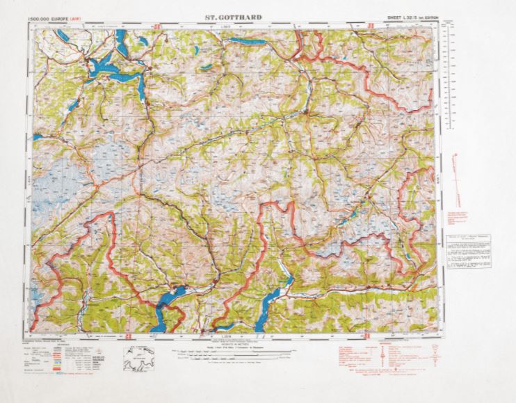
Did you know that our government produced edible maps during World War II? The maps were made from rice paper and developed for our military members to eat if they were in danger of being captured. More information about the maps can be located in Record Group 77.1 in the National Archives at www.archives.gov!
During World War II the United States and Great Britain also produced escape maps on silk and other fabric. Why fabric? Cloth and silk are easily foldable and can be sewn in clothing.The maps were smuggled into the POW camps. Methods of smuggling included the board game Monopoly. The maps were slipped into the game board and real money was mixed into monopoly money.
MI9 [Military Intelligence Section 9] was created specifically to aid in the escape of British POW’s. MI9 created fake companies and organizations to aid in smuggling materials for escapees. Among them were the Ladies Knitting Circle and The Jigsaw Puzzle Club. The British Library has information on MI9 and WWII escape and evasion maps https://www.bl.uk/.

https://www.bl.uk/maps/articles/escape-and-evasion-maps-of-world-war-ii#

